Beaverhead River
Consistently rated top 10 trout stream in North America producing trophy browns.
Beaverhead River in Southwest Montana
The Beaverhead River from Clark Canyon Reservoir to Twin Bridges is consistently rated among the top 10 trout streams in North America, producing trophy brown trout in remarkable numbers per mile.
The river flows through agricultural bottomland in Beaverhead County, with frontage properties typically combining hay ground with premier fishing access. Limited access and exceptional fishery quality make Beaverhead River frontage among the most valuable per-acre river real estate in Montana.
Beaverhead properties represent the gold standard of fly fishing waterfront — consistent trophy production in a manageable setting with agricultural productivity.
The Beaverhead consistently produces brown trout averaging 16–20 inches with trophy fish regular occurrence. The river's productivity per mile rivals famous Rocky Mountain rivers, with proven management practices ensuring continued excellence.
Properties typically include 100–200+ acre parcels with substantial riparian frontage, hay production, and established homesites. Many operate successful fly fishing operations or guest ranches. The Beaverhead's consistent quality and accessibility make it Montana's premier trophy trout property investment.
Key Facts
- Rated top 10 trout streams in North America
- Trophy brown trout production
- Remarkable numbers per mile
- Clark Canyon Reservoir to Twin Bridges
- Among most valuable per-acre river real estate in Montana
Market Overview
Contact local agents for current pricing and market information.
Other Southwest Montana Characteristics
Explore all the factors that define waterfront/access land value in this region.
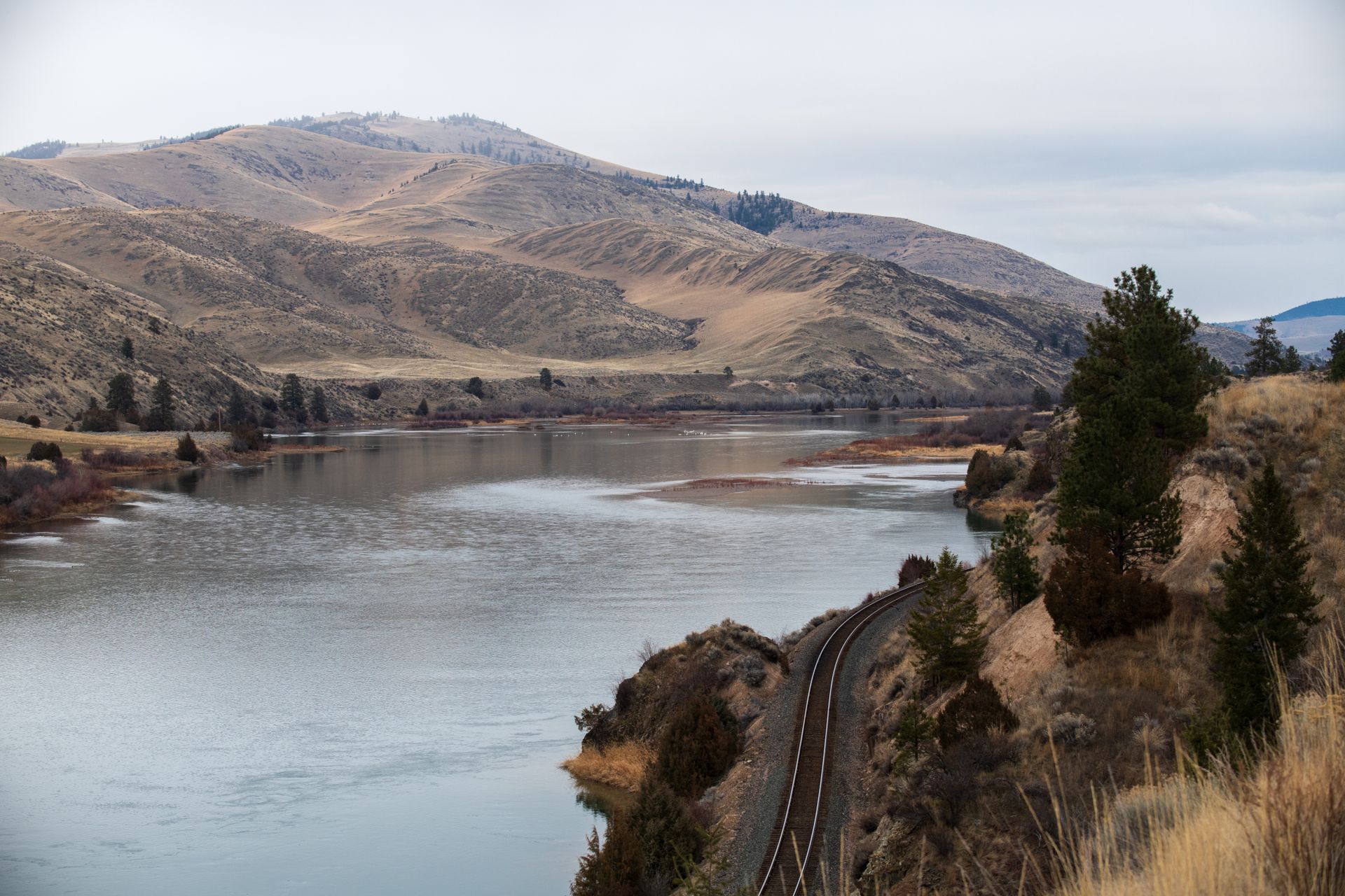
One of Montana's premier trout fisheries with 75 miles of productive river through the valley.
- •75 miles of productive brown and rainbow trout
- •From Darby north to Clark Fork confluence
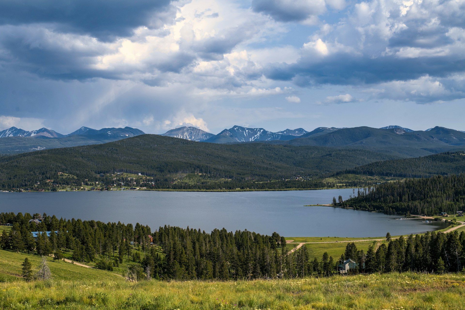
Montana's premier drive-to high-country lake at 6,300 feet elevation.
- •2,700 acres at 6,300 feet elevation
- •15+ miles of shoreline west of Anaconda
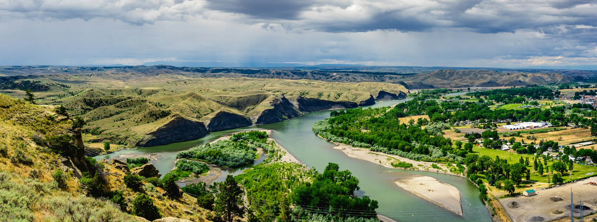
Montana's urban waterfront — river flowing through Missoula providing unique access.
- •Flows through Missoula (Montana's 2nd largest city)
- •Urban waterfront unique in Montana
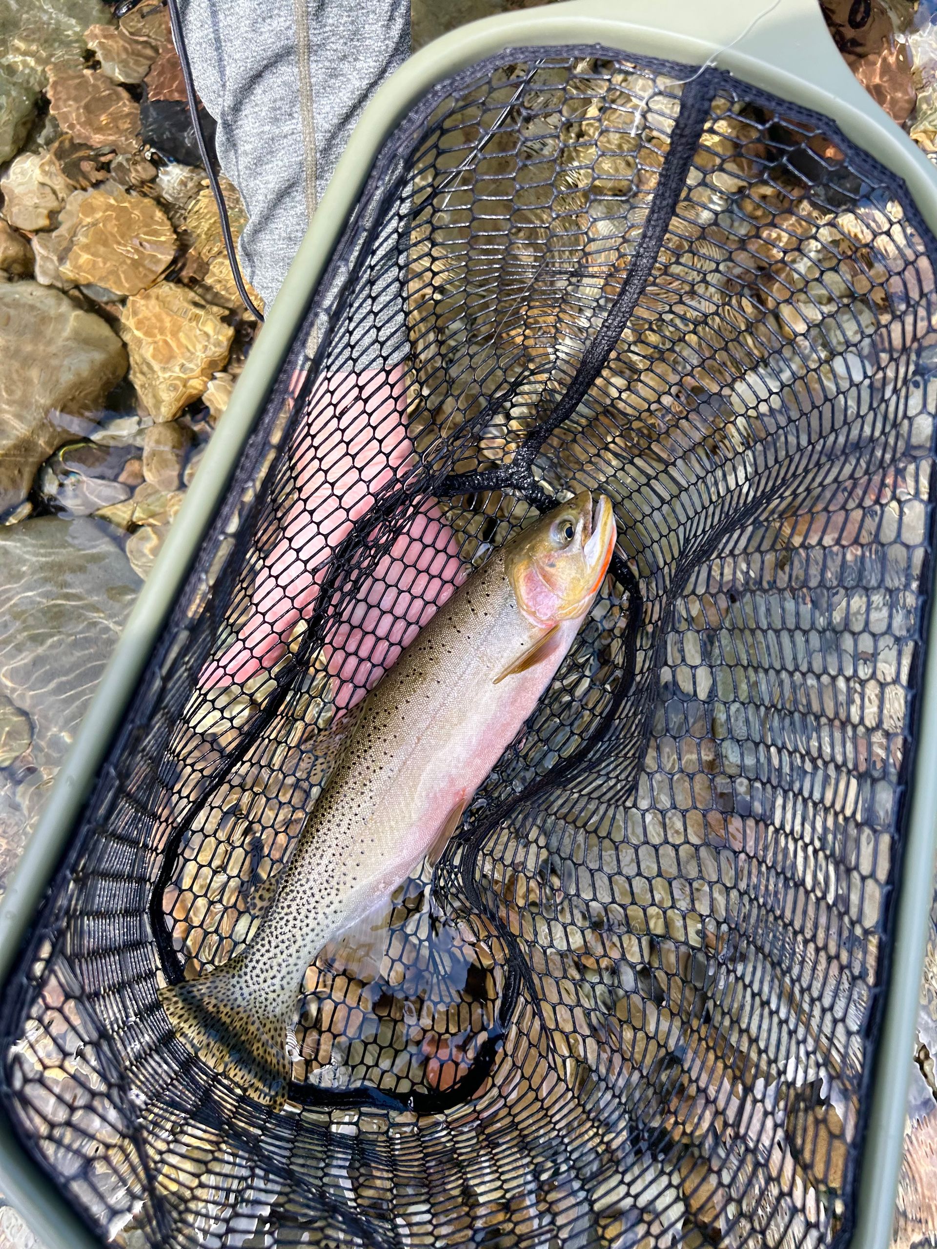
Montana's highest wild trout management classification on multiple rivers.
- •Highest FWP wild trout management classification
- •Bitterroot, Big Hole, Beaverhead, Rock Creek included
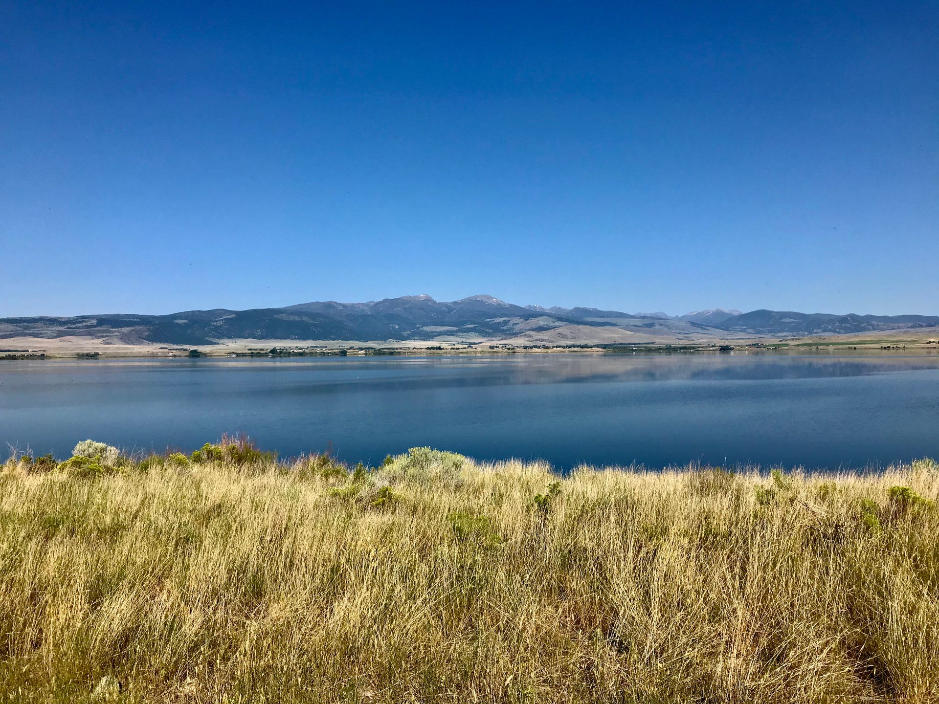
Home to Montana's only lower-48 Arctic grayling population — a globally unique fishery.
- •150 miles from Wisdom to Twin Bridges confluence
- •Only Arctic grayling population in lower 48