Holter & Hauser Lakes
Upper Missouri reservoir chain featuring dramatic Gates of the Mountains canyon.
Holter & Hauser Lakes in North Central Montana
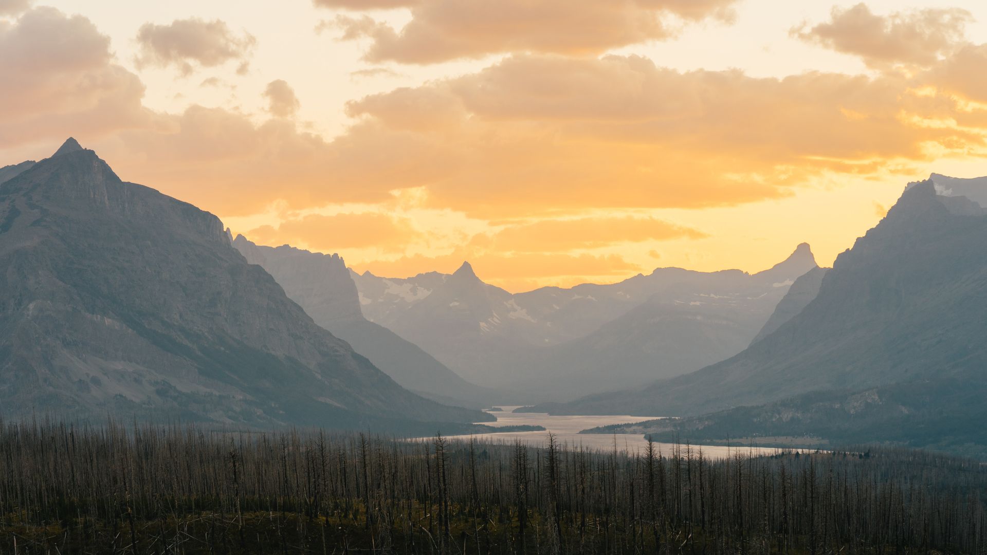
Holter and Hauser Lakes upstream from Canyon Ferry form the upper links of the Missouri reservoir chain. Holter Lake's dramatic Gates of the Mountains canyon — named by Lewis and Clark — provides spectacular scenery.
Both lakes offer calmer water than Canyon Ferry with strong fishing for rainbow trout, brown trout, and walleye. Wolf Creek corridor properties provide access to both Holter Lake and world-class Missouri River tailwater fishing below Holter Dam.
The quieter waters and dramatic scenery make Holter and Hauser excellent choices for buyers seeking the Missouri reservoir experience without Canyon Ferry's intense summer crowds.
The Gates of the Mountains canyon features towering granite cliffs rising 1,000 feet above the water, creating dramatic scenery. Wildlife viewing opportunities include bighorn sheep, mountain goats, and eagles. The narrow canyon creates stunning photography opportunities and unique geological features.
Properties here appeal to buyers seeking quieter lakes with strong fishing and dramatic natural beauty. Wolf Creek offers the best year-round highway access to this system. Many properties feature cliff-backed homesites with dramatic views and excellent sunset exposure.
Key Facts
- Upstream from Canyon Ferry reservoir
- Gates of the Mountains canyon (Lewis & Clark named it)
- Rainbow trout, brown trout, walleye fishing
- Calmer water than Canyon Ferry
- Spectacular scenic canyon access
Market Overview
Contact local agents for current pricing and market information.
Other North Central Montana Characteristics
Explore all the factors that define waterfront/access land value in this region.
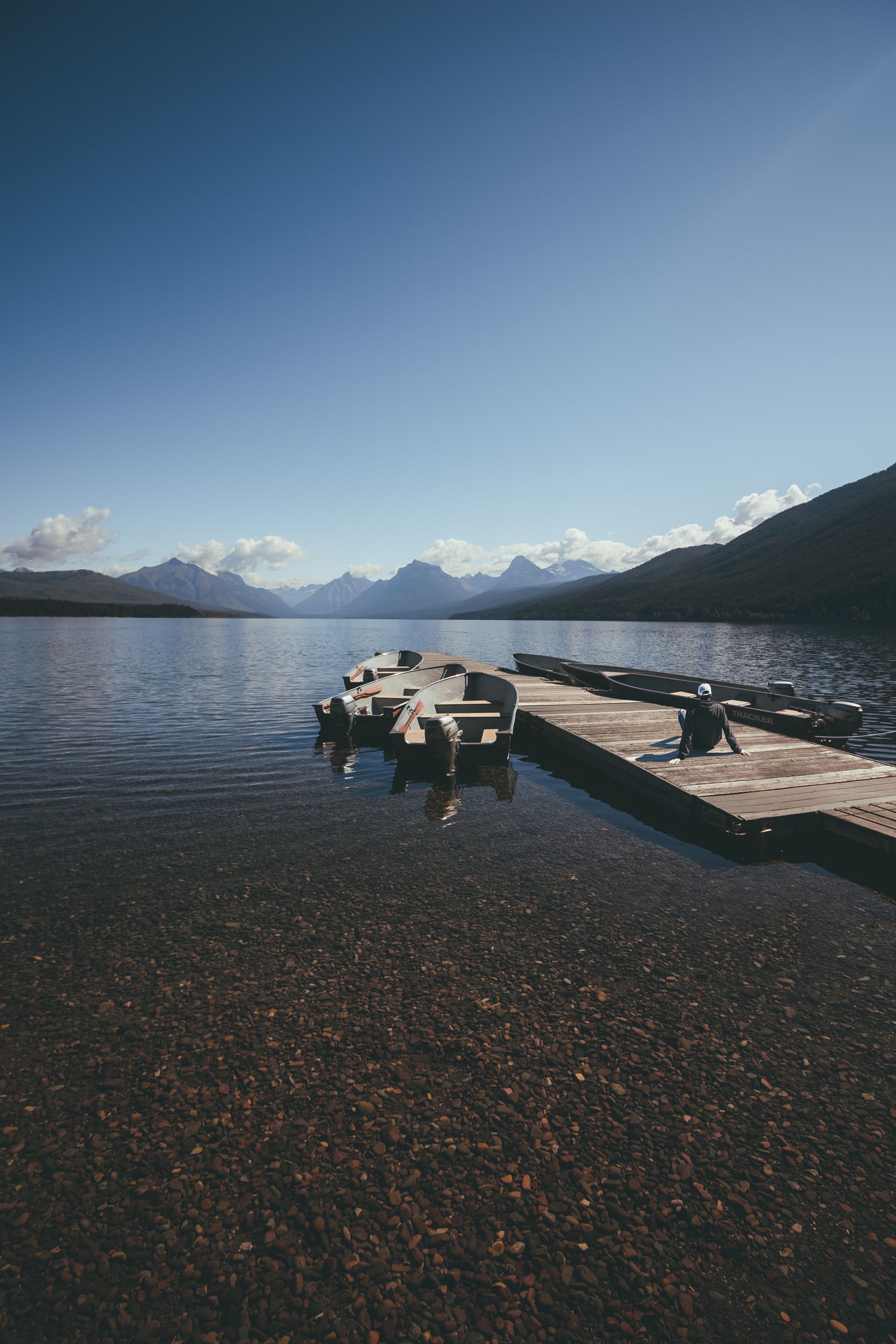
Montana's most popular recreation reservoir with 75+ miles of shoreline and 35,000 surface acres.
- •35 miles long with 35,000 surface acres
- •Located 20 miles east of Helena
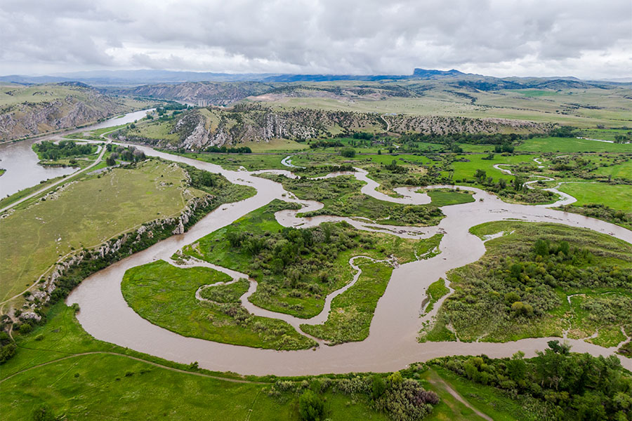
Historic waterfront following Lewis and Clark's 1805 route through the White Cliffs.
- •Follows Lewis and Clark's 1805 navigation
- •White Cliffs section is a National Monument
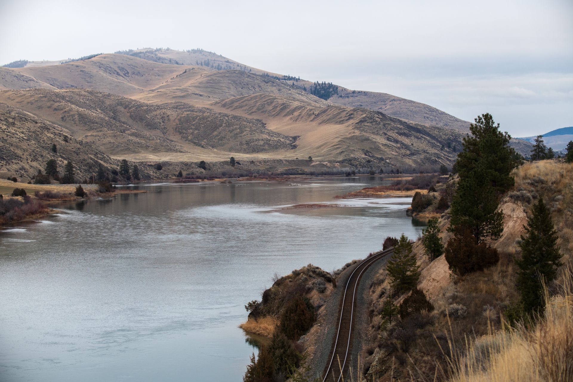
One of Montana's most coveted waterfront destinations — 60-mile limestone canyon accessible only by permitted trip.
- •60-mile float through limestone canyon
- •Accessible only by FWP permitted trips
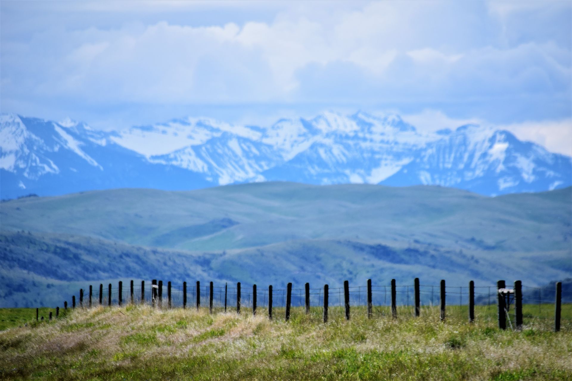
Riparian properties at the dramatic mountain-meets-plains interface with exceptional scenery.
- •Teton River, Sun River, Dearborn River
- •Mountain-meets-plains dramatic interface
River flowing from Bob Marshall Wilderness with irrigation district agricultural properties.
- •Flows from Bob Marshall Wilderness
- •Through Augusta and Fairfield