Milk River Corridor
Hi-Line agricultural river with senior water rights supporting irrigation and ranching.
Milk River Corridor in Northeast Montana
The Milk River flows across the Hi-Line from the Sweet Grass Hills to its confluence with the Missouri at Fort Peck. Irrigation infrastructure along the Milk supports agricultural properties with senior water rights.
The river corridor provides riparian habitat for white-tailed deer and upland birds, and river frontage properties offer agricultural productivity alongside recreation in one of Montana's most spacious and sky-dominated landscape.
Milk River properties represent the authentic Hi-Line experience — wide open space with productive water rights and genuine rural character.
The Milk's senior water rights (some dating to the 1800s) make it one of Montana's most valuable irrigation sources. The river supports excellent duck hunting and walleye fishing. Agricultural productivity from irrigated properties often subsidizes property taxes.
Properties typically include mature cottonwood groves, productive irrigated hay and grain land, and remote hunting opportunities. The Hi-Line's sparse population creates peaceful living conditions while maintaining connection to active agricultural communities.
Key Facts
- Flows across Montana's Hi-Line
- Senior water rights irrigation infrastructure
- Riparian habitat for white-tailed deer and upland birds
- Agricultural productivity and recreation
- Montana's most spacious and sky-dominated landscape
Market Overview
Contact local agents for current pricing and market information.
Other Northeast Montana Characteristics
Explore all the factors that define waterfront/access land value in this region.
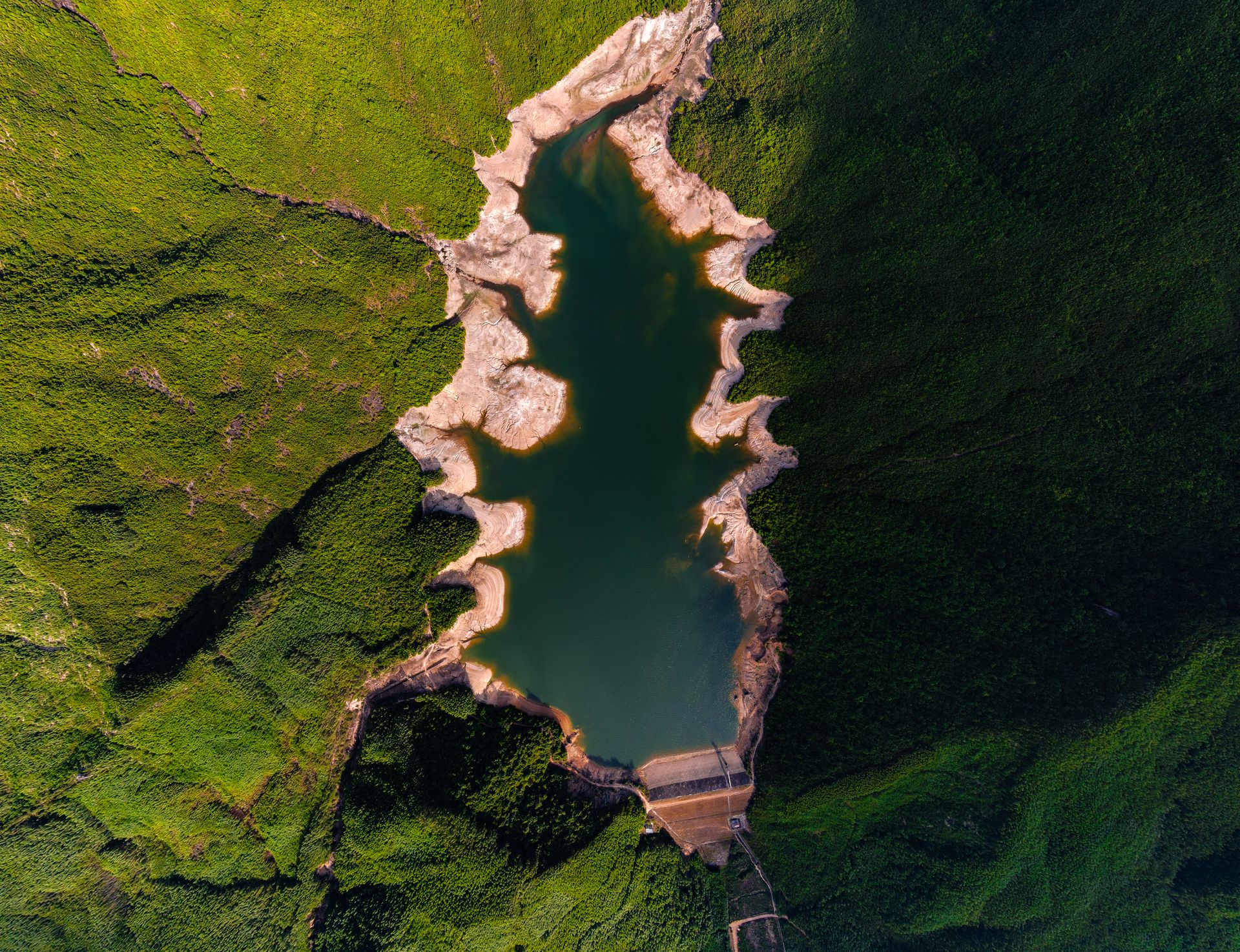
One of the largest man-made reservoirs with 1,520 miles of pristine, undeveloped shoreline.
- •134 miles long with 1,520 miles of shoreline
- •One of the largest US reservoirs
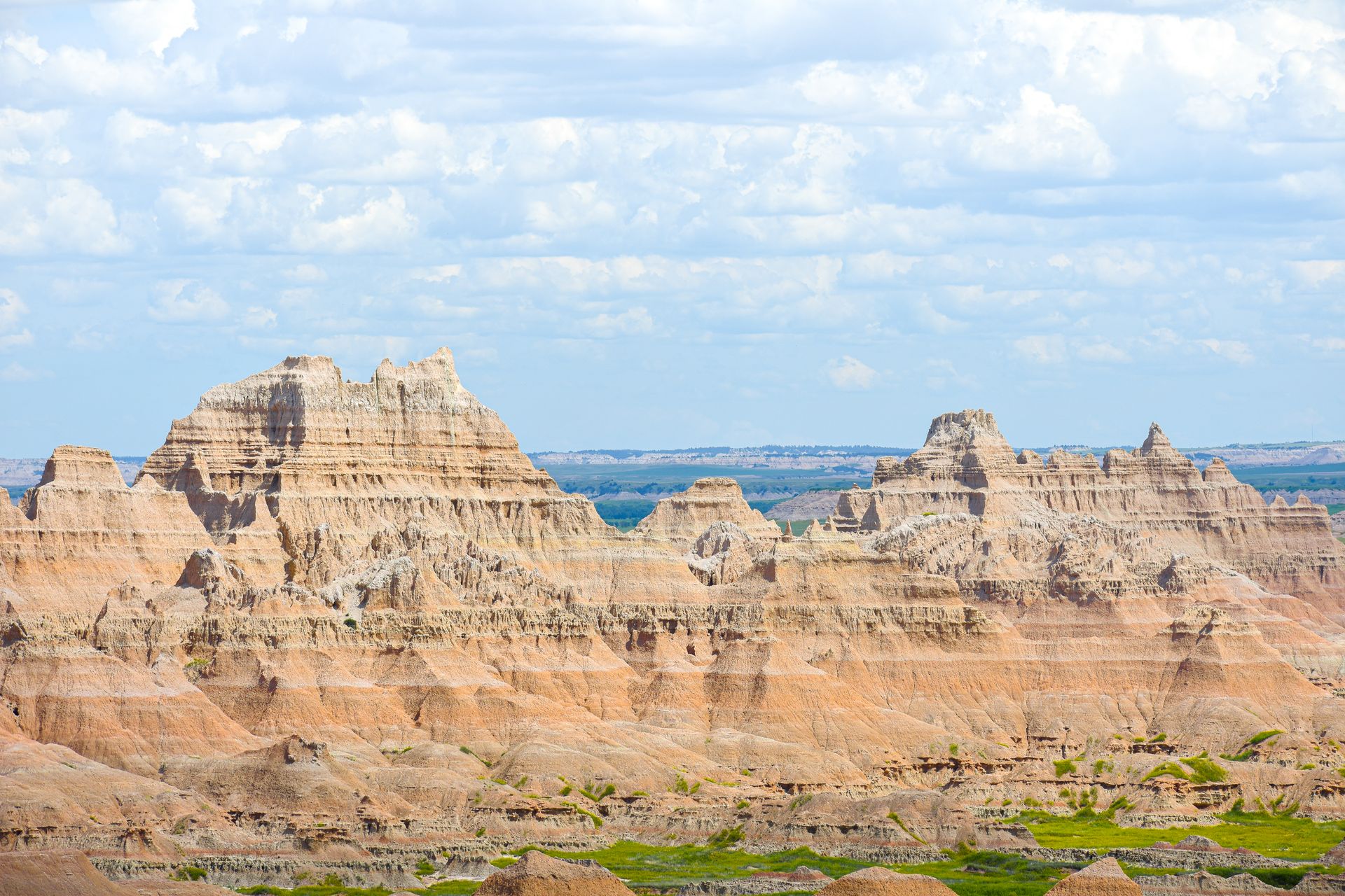
Dramatic badlands and river bottoms — the landscape that inspired C.M. Russell's art.
- •Carved badlands and dramatic coulees
- •C.M. Russell country and inspiration
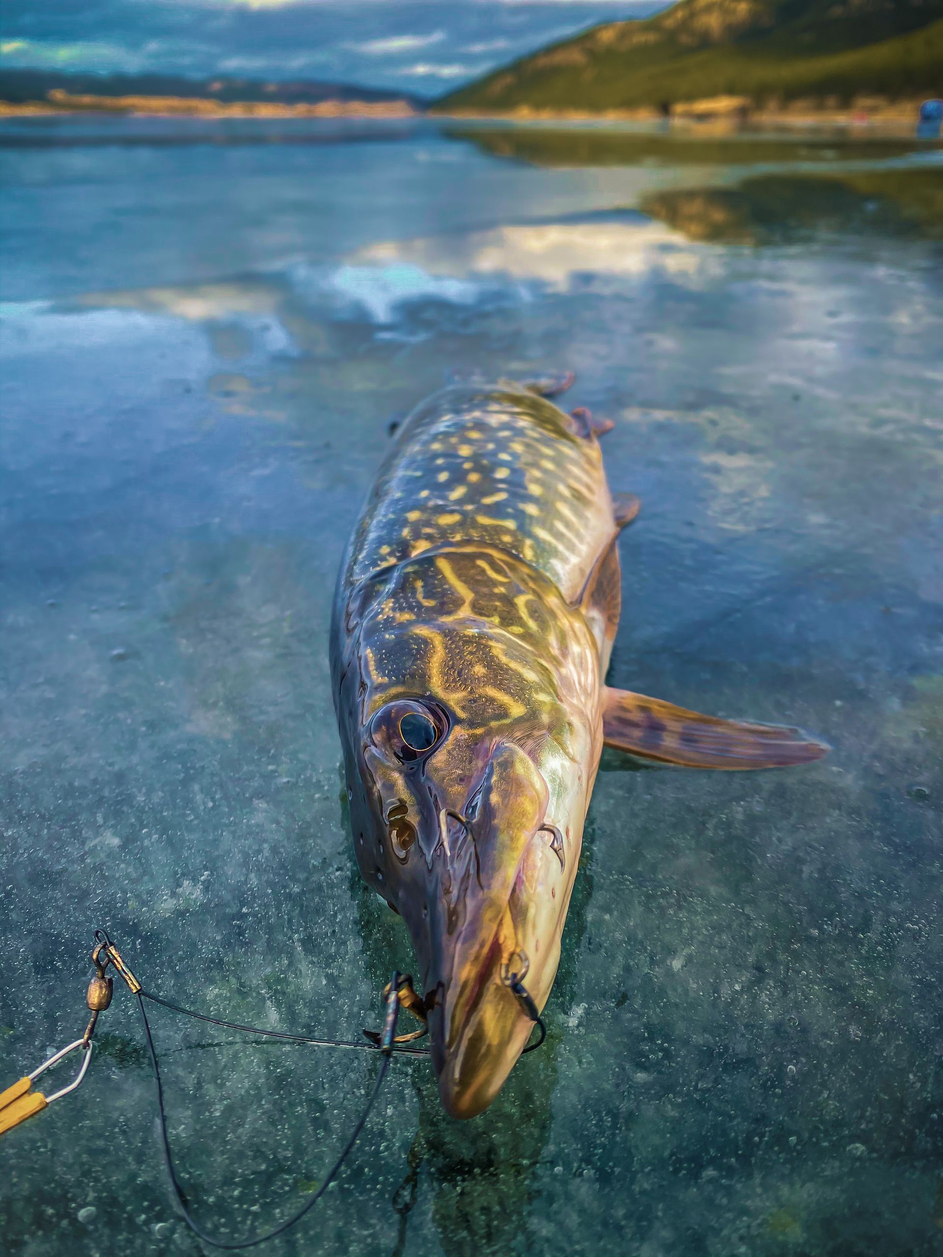
Montana's premier walleye destination with consistent trophy fish populations.
- •Fort Peck consistently produces trophy walleye
- •State record walleye and pike taken here
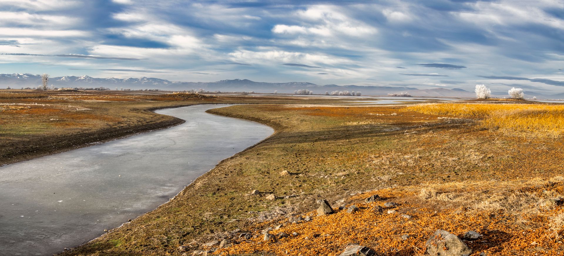
Montana's most affordable waterfront in the Rocky Mountain region.
- •Cabin lots under $100K on Fort Peck coves
- •River bottomland from $500–$1,500/acre
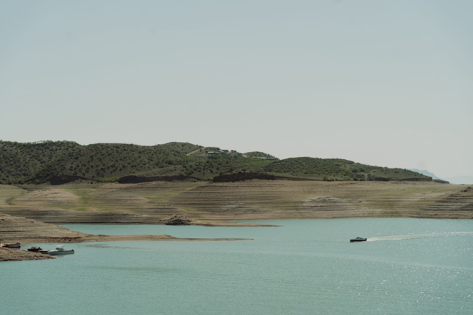
Productive fishing and recreation reservoir in true High Plains ranch country.
- •Located near Malta in Phillips County
- •Productive walleye, perch, and northern pike fishery