Missouri River History
Historic waterfront following Lewis and Clark's 1805 route through the White Cliffs.
Missouri River History in North Central Montana
The Missouri River through north central Montana follows Lewis and Clark's 1805 route. The White Cliffs section between Fort Benton and the Fred Robinson Bridge is a National Monument corridor — among the most historically significant river landscapes in North America.
Fort Benton's riverfront is the most intact historic steamboat landing remaining on the Missouri, with unique historic commercial district properties. Owning Fort Benton waterfront means owning a piece of American frontier history.
Properties here carry both practical waterfront value and profound historical significance. They're places where you live the story of exploration and frontier settlement.
The White Cliffs section features dramatic 200-foot limestone bluffs and dramatic geological formations that remain largely unchanged since Lewis and Clark's 1805 expedition. This designated National Monument corridor protects the landscape in perpetuity. Float trips down the Missouri remain popular summer activities, creating recreational economy.
Fort Benton hosts the annual Montana River Outfitters Jamboree and maintains river tourism infrastructure. Historic buildings line the waterfront, and the town celebrates its steamboat heritage. Properties here combine investment in historic structures with recreational water access and tourism opportunity.
Key Facts
- Follows Lewis and Clark's 1805 navigation
- White Cliffs section is a National Monument
- Fort Benton is most intact historic steamboat landing
- Historic commercial district properties unique
- One of North America's historically significant river landscapes
Market Overview
Contact local agents for current pricing and market information.
Other North Central Montana Characteristics
Explore all the factors that define waterfront/access land value in this region.
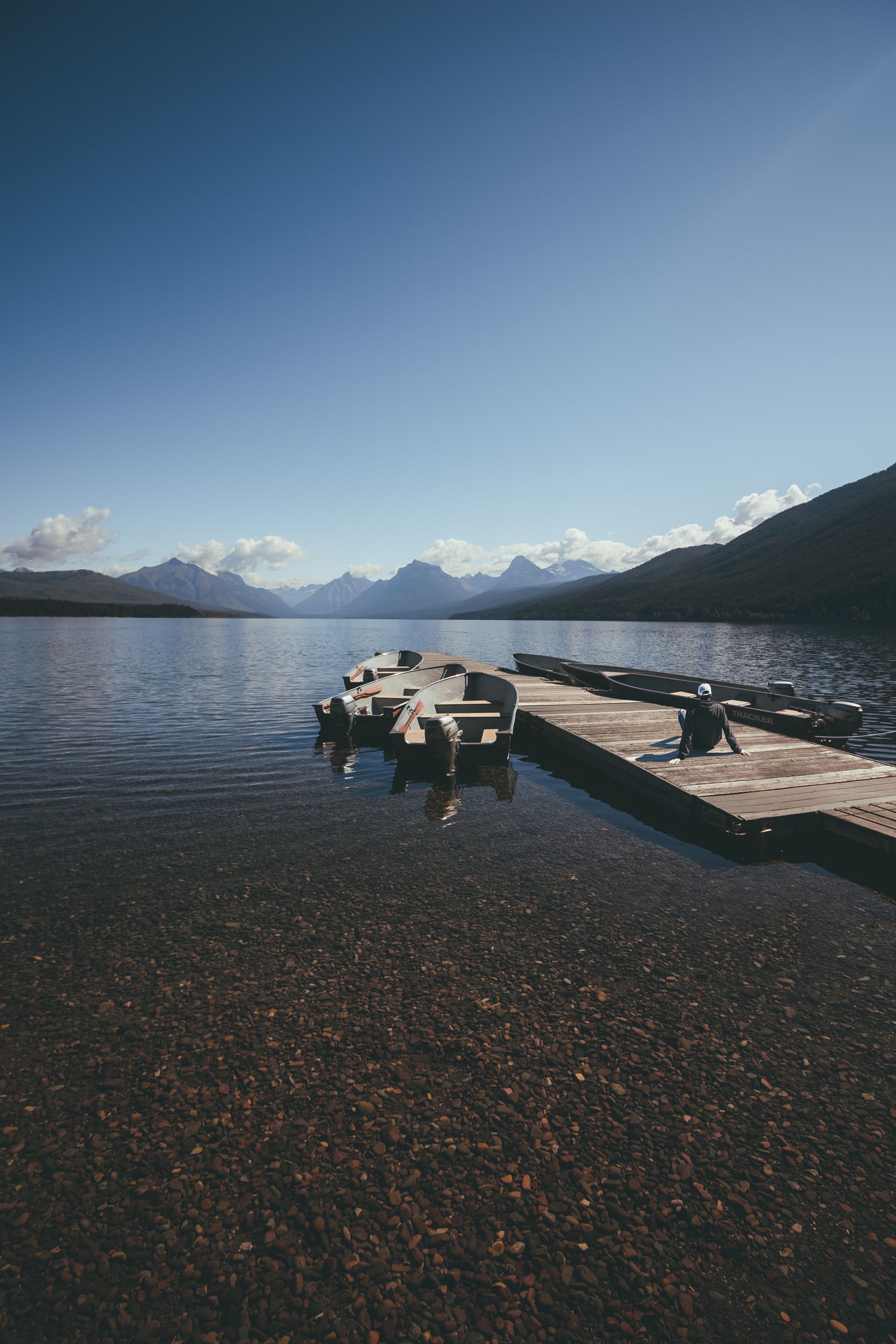
Montana's most popular recreation reservoir with 75+ miles of shoreline and 35,000 surface acres.
- •35 miles long with 35,000 surface acres
- •Located 20 miles east of Helena
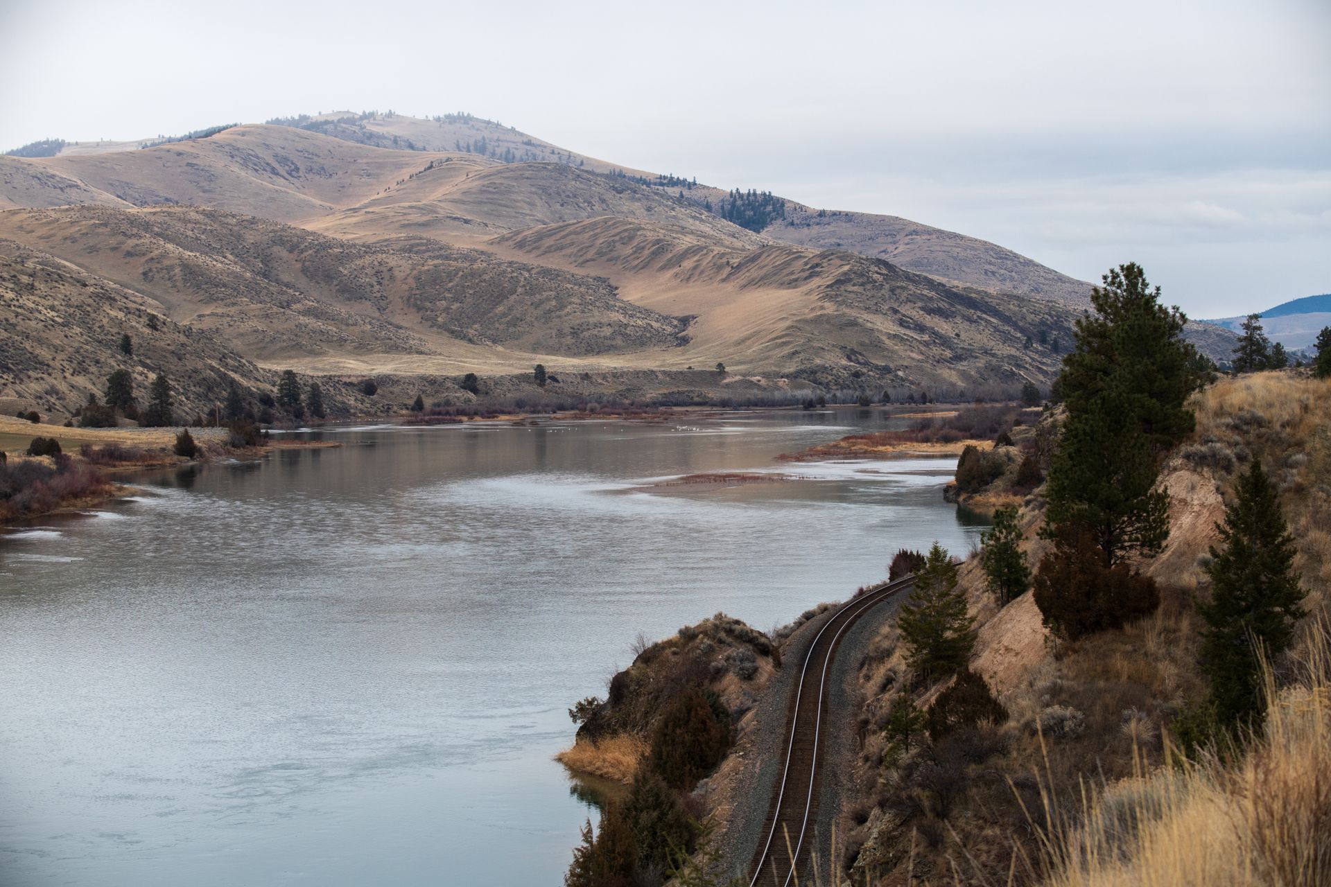
One of Montana's most coveted waterfront destinations — 60-mile limestone canyon accessible only by permitted trip.
- •60-mile float through limestone canyon
- •Accessible only by FWP permitted trips
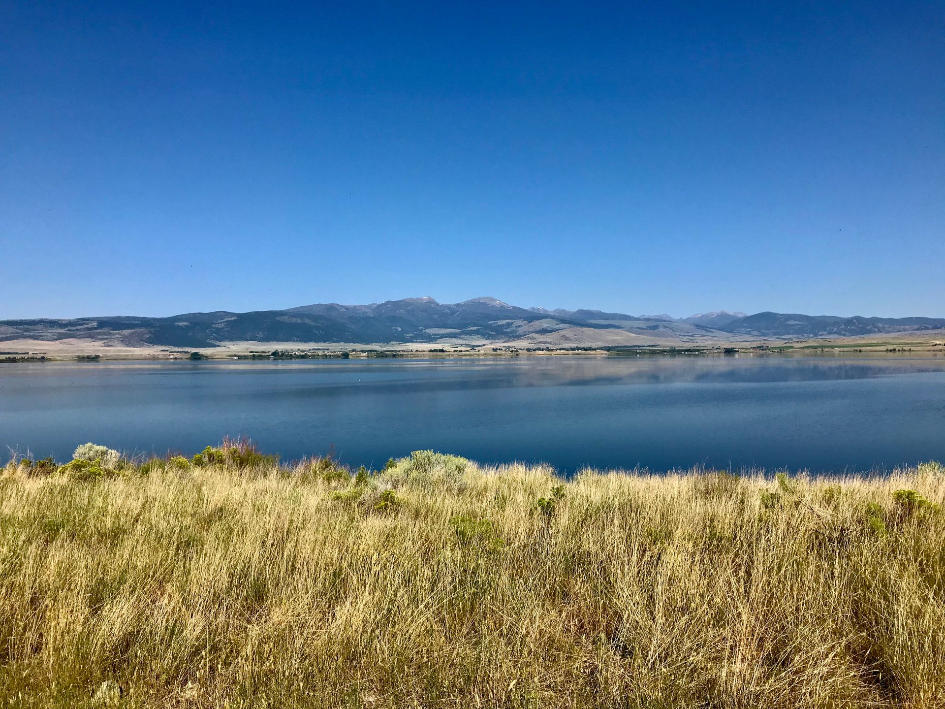
Upper Missouri reservoir chain featuring dramatic Gates of the Mountains canyon.
- •Upstream from Canyon Ferry reservoir
- •Gates of the Mountains canyon (Lewis & Clark named it)
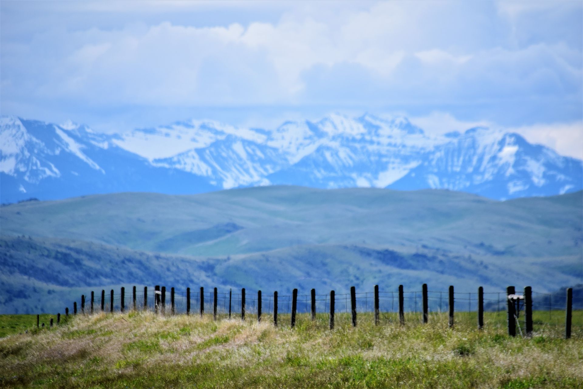
Riparian properties at the dramatic mountain-meets-plains interface with exceptional scenery.
- •Teton River, Sun River, Dearborn River
- •Mountain-meets-plains dramatic interface
River flowing from Bob Marshall Wilderness with irrigation district agricultural properties.
- •Flows from Bob Marshall Wilderness
- •Through Augusta and Fairfield