Sun River Access
River flowing from Bob Marshall Wilderness with irrigation district agricultural properties.
Sun River Access in North Central Montana
The Sun River flows east from the Bob Marshall Wilderness through Augusta and Fairfield before joining the Missouri at Great Falls. The Greenfields Irrigation District near Choteau — one of Montana's largest — provides irrigated agricultural properties with water rights.
Sun River frontage properties offer the combination of Front Range scenery, agricultural productivity, and trout fishing access. Properties here support both cattle and hay production with excellent water rights.
These represent some of Montana's most versatile waterfront properties — scenic enough for lifestyle living, productive enough for legitimate agricultural operations.
The Sun River's senior water rights (established in the 1800s) make these some of Montana's most valuable irrigation properties. The river supports excellent fly fishing with brown and rainbow trout. Adjacent to the Bob Marshall Wilderness, the area offers pristine backcountry access.
Properties combine Montana's most dramatic mountain scenery with genuine agricultural productivity. Many operate as guest ranches or working cattle operations. The surrounding conservation easements and protected lands ensure long-term preservation of the landscape and values.
Key Facts
- Flows from Bob Marshall Wilderness
- Through Augusta and Fairfield
- Greenfields Irrigation District infrastructure
- One of Montana's largest irrigation districts
- Combines scenery with water rights and agricultural productivity
Market Overview
Contact local agents for current pricing and market information.
Other North Central Montana Characteristics
Explore all the factors that define waterfront/access land value in this region.
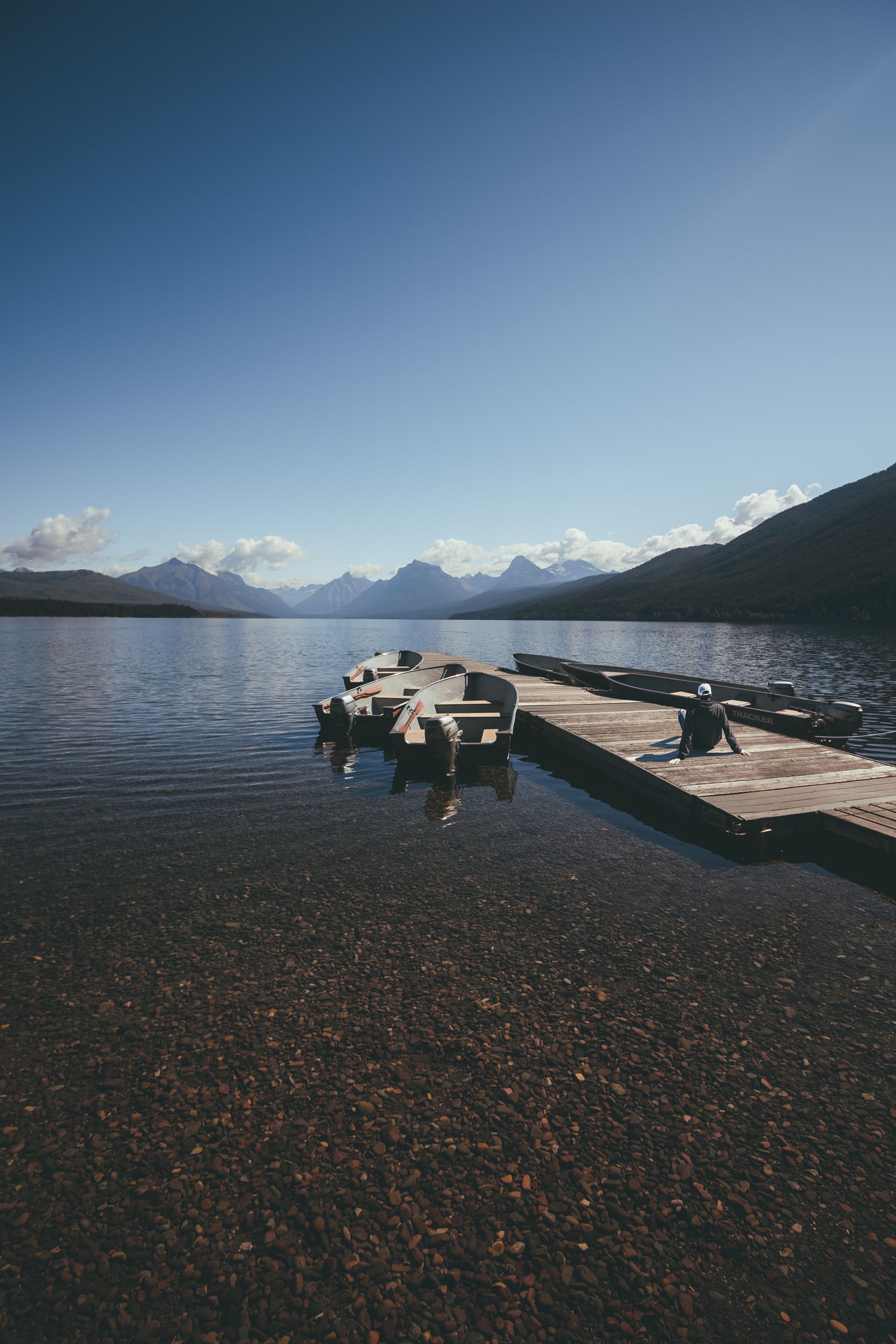
Montana's most popular recreation reservoir with 75+ miles of shoreline and 35,000 surface acres.
- •35 miles long with 35,000 surface acres
- •Located 20 miles east of Helena
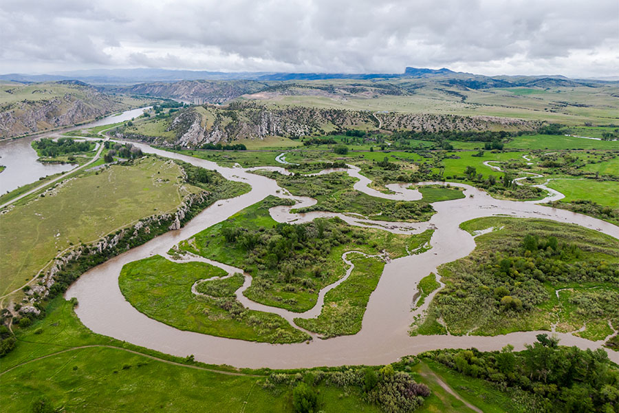
Historic waterfront following Lewis and Clark's 1805 route through the White Cliffs.
- •Follows Lewis and Clark's 1805 navigation
- •White Cliffs section is a National Monument
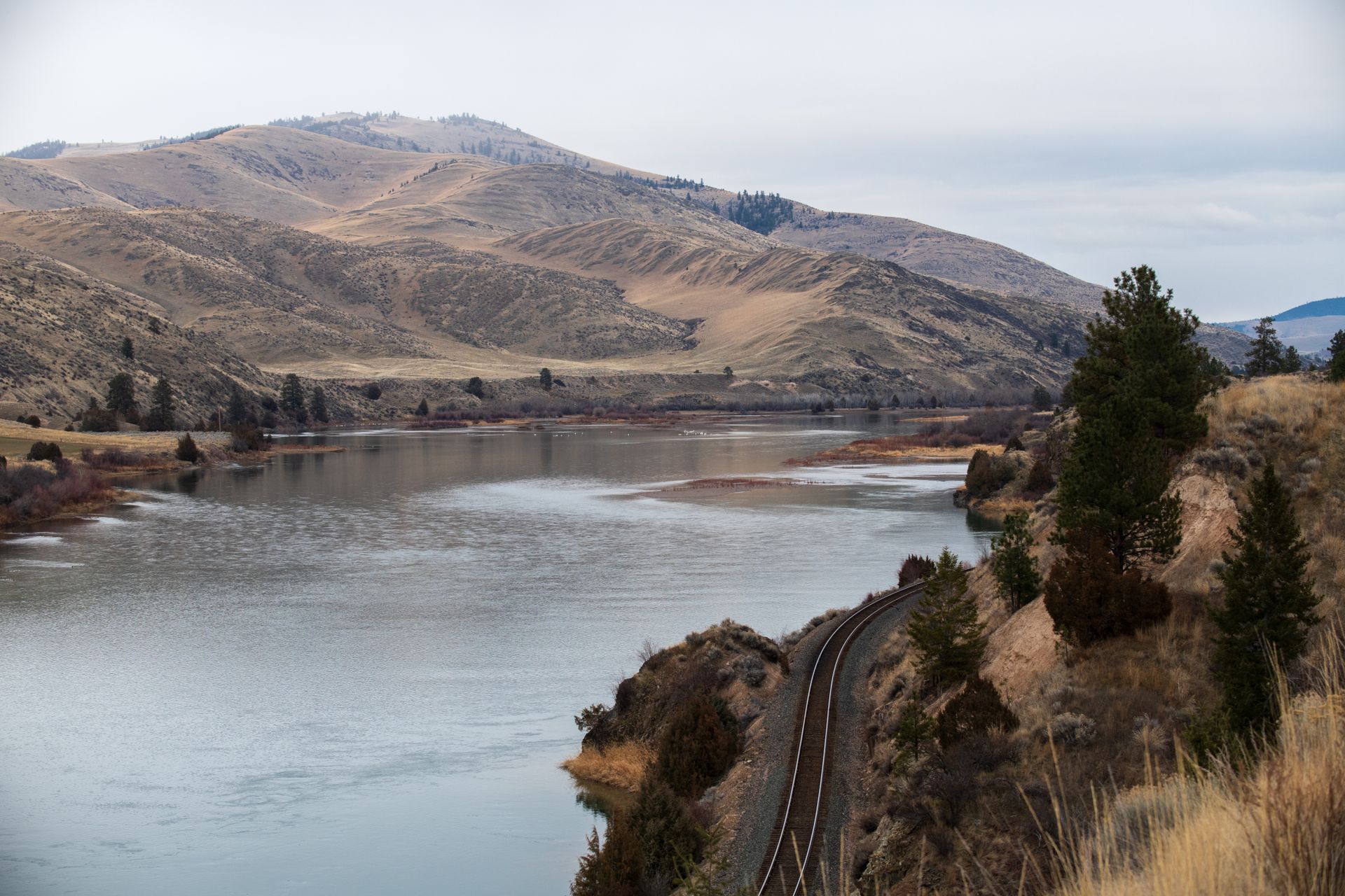
One of Montana's most coveted waterfront destinations — 60-mile limestone canyon accessible only by permitted trip.
- •60-mile float through limestone canyon
- •Accessible only by FWP permitted trips
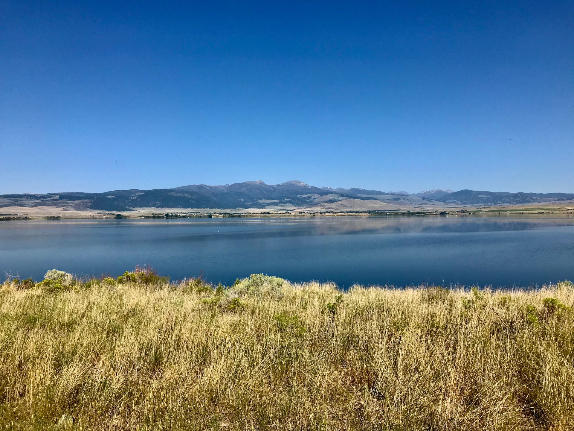
Upper Missouri reservoir chain featuring dramatic Gates of the Mountains canyon.
- •Upstream from Canyon Ferry reservoir
- •Gates of the Mountains canyon (Lewis & Clark named it)
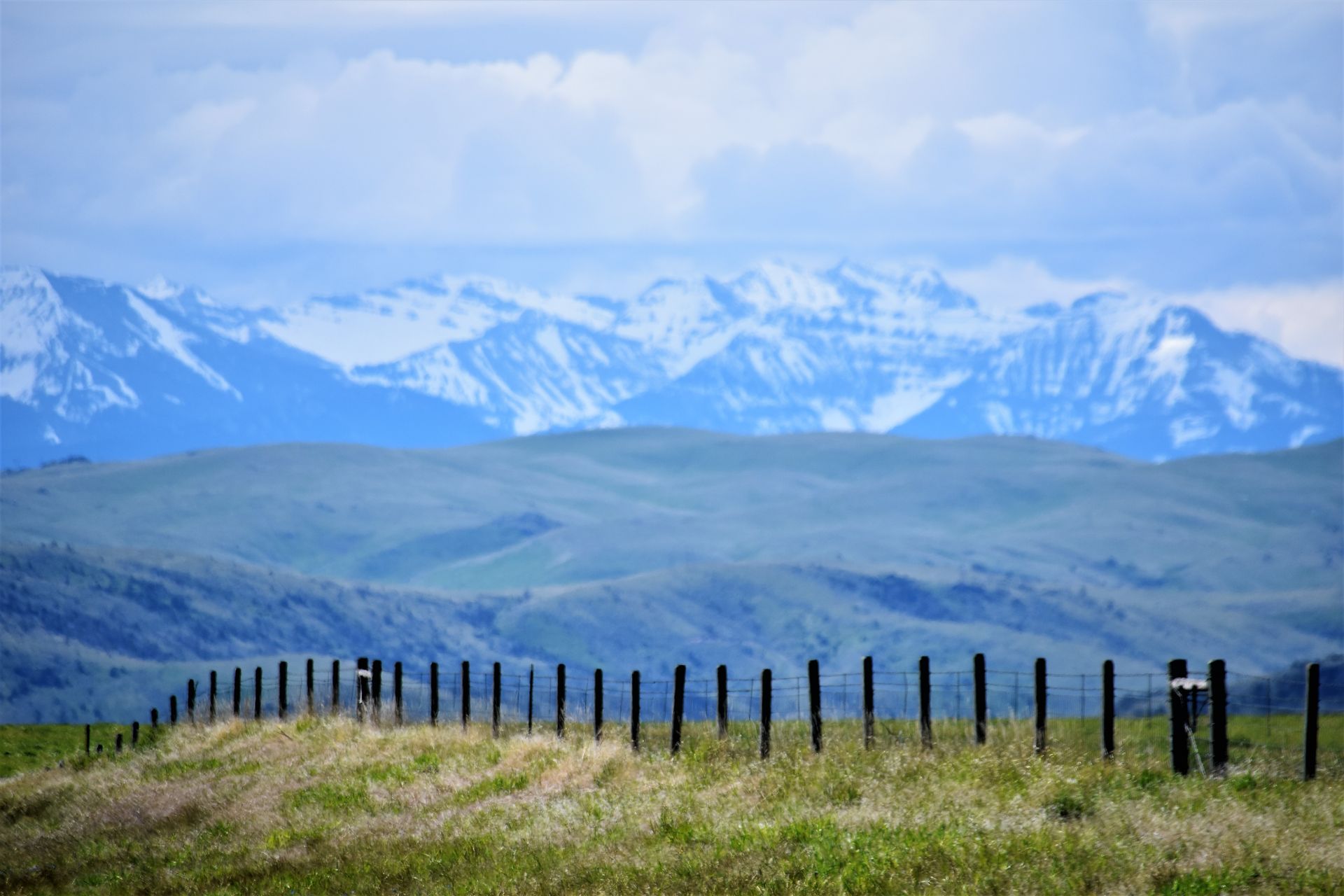
Riparian properties at the dramatic mountain-meets-plains interface with exceptional scenery.
- •Teton River, Sun River, Dearborn River
- •Mountain-meets-plains dramatic interface